
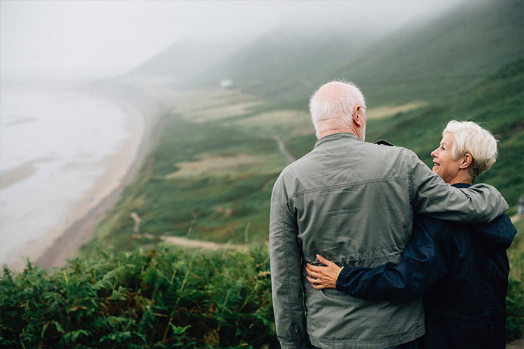
Camping is a great activity, offering hours of entertainment and an opportunity to explore the beauty of Australia.
Camping with your camper trailer means going wherever your heart desires, but there will be times when you would want to leave your camper set up and explore on foot. The best way to discover the beauty of not-easy-to-reach places is by hiking!
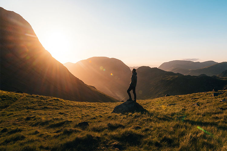
Hiking takes you places on foot, rewarding you with awesome scenes and a pretty great end result. . It offers an excellent way to explore the spectacular natural environment of Australia. With an array of hiking destinations in Australia, you can find the perfect location for your long treks as well as short hikes.
Here are some of the best hikes around Australia that you can get even closer to with the help of your Mars off-road camper trailer.
Hiking at the Larapinta Trail is considered to be one of the world’s best long-distance walks. The Larapinta can be walked in either direction and hence those planning to a trip here should be well versed about all the trekking trails.
As far as a place to set your camper up goes, there’s plenty of options. Just to name a couple, you have campsites at Serpentine Gorge, to the east, or Serpentine Chalet, to the west, from which you need to begin hiking early and walk mostly uphill. Once you reach Counts Point which is 95 km to the west of Alice Springs in the MacDonnell Ranges, your hard work will be rewarded with some spectacular views.
Getting to Counts Point from Larapinta Trail will require you to walk for a few days. If you move towards the west, you’ll get to Gosse Bluff, a pretty impressive natural sight, which is a ring of hills growing above a 142-million-year-old comet impact crater which also has a great indigenous significance. Towards the north, you get to explore the distinctively lumpy Chewings Range, a real jaw dropping landscape. The north-west has Mt Sonder. Here, hikers can walk the 223km track between the top of Sonder and the old Telegraph Station at Alice Springs. Once you reach Alice Springs, you’re at the eastern-most point of the Larapinta.
The Alps walking track is one of the most famous hikes amongst Australians. A lot of travellers have trekked the Australian Alps for years to enjoy the charming mountain scenery. It is an extension of the Victorian Alpine Walking Track, through New South Wales and the Australian Capital Territory. This track was developed in the 1970s with the aim of linking the Australian Alps to a three-state trail. Currently, the trail continues from the Australian Alps Walking Track to the Kosciuszko National Park and Namadgi National Park.
When hiking at the Australian Alps Walking Track, you get an opportunity to visit some of finest alpine national parks of Australia. The track makes you climb some really high highest mountains, cross exposed high plains and pass through tall forests and stunted snow gum woodlands. This hike isn’t for the faint hearted!
The Wilderness Coast Walk gives you a chance to explore the stretch of coastline in Croajingolong National Park that is located on the far eastern coast of Victoria. Walking here will reward you with sights of wide-open beaches and varied flora and fauna.
• Bemm River to Clinton Rocks
Walking on this track mainly involves enjoying the beach. Expect and entrance crossing at Sydenham Inlet and Tamboon Inlet. You may even have to make arrangements for boat transport. On this hike, you’ll find a large and impressive ou will find a large section of rocks at Clinton Rocks. When it comes to camping, you have options at both Tamboon Inlet and Clinton Rocks.
• Clinton Rocks to Thurra River
This too involves walking at the beach, what’s not to love!. Sledge Track from West Beach will take you to the lighthouse, or the West Beach Track will lead you directly to the Thurra River campground. You can camp at Clinton Rocks and Thurra River.
• Thurra River to Wingan Inlet
The next is to move from the Thurra River to get to the Wingan Inlet. You will find an inland track behind the Rame Head. Camping spots can be found in Thurra River, Gale Hill and Wingan Inlet.
• Wingan Inlet to Benedore River
• Benedore River to Mallacoota
The Old Coast Rd walking track will take you to from Benedore River to the Seal Creek and then onto the Shipwreck Creek. The Old Coast Rd crosses the campground and ends at the car park at Centre Track. You need to follow the Centre Track to Mallacoota. You can also follow the beach from Betka River to Bastion Point. From here, you need to get onto the Pittosporum Walk to Mallacoota. Camping sites are available at Benedore River, Seal Creek, Shipwreck Creek and Mallacoota.
• Mallacoota to Nadgee, NSW
If you wish to you can continue hiking across the NSW border from Mallacoota township. You will pass from Cape Howe into the Nadgee Wilderness area and then get through to Wonboyn township. You need a permit to walk this section, but their easy to grab from the NSW National Parks and Wildlife Office at Merimbula for the permit.
Most hikers begin overland track from Ronny Creek in Cradle Valley. However, if you have plenty of time and youre quite fit begin with the Cradle Valley Boardwalk.
This track will bless your eyes with some awesome sights and views including Crater Lake and its steep, Fagus tree-draped surrounds, Dove Lake, Barn Bluff and more.
Most walkers end the tour at Narcissus Hut. But once you’re there, you have the option of walking around Lake St Claire and Echo Point Hut. This additional walk will let you hike along with Lake St Claire and enjoy some outstanding views that will be very different from the ones you have seen on your walk so far.
One of the most famous hiking tracks is the Cape to Cape Track. This track takes you along the ridge and beaches of the Leeuwin-Naturaliste National Park via the coast from Cape Naturaliste, Dunsborough to the Cape Leeuwin, Augusta. This track is made to bring hikers in close contact with the environment. As the track follows the coast, hikers can enjoy cliff-top views with stretches of pristine beach.
The track also has some easy sections that make brilliant half-day and day walks. To complete the whole walk, it will take you anywhere between five to seven days– it’s no easy task! There are multiple access points along the coast that make it easy for you to complete the track in smaller segments, stopping along the way for a swim!.
Choosing the location for your next hiking trip can be a daunting task, there’s so much to choose from. If you are going hiking for the first time, it is recommended to pick an area that you are aware of or is at least near you. Doing this is important, as you’ll be more prepared for the weather and the conditions of where you are. You might even be \familiar with the wildlife! Small things like this can make a big difference on your first go.
Here are our top tips for choosing a location:
While choosing the location for hiking, you must take your fitness level into consideration. Hiking more than your ability level can create problems on the trails, and there’s a difference between challenging yourself and choosing a hike you would have been able to do 20 years ago. You don’t want to exhaust yourself or get hurt, having to finish early, do you? . Picking locations that suit your current fitness level will ensure you enjoy your time hiking.
If you are considering a trekking trail for your next trip, ensure to inquire about the steepness or grade of the trail. Trail grades can be analysed (now stay with us here) by dividing the horizontal distance by the vertical distance at a particular point. Beginner hikers are recommended to pick a trail that has a mild grade.
On average, an experienced hiker can cover about 3 to 34kilometres every hour. But if you are a beginner, you should aim at covering just 1 to 2 kilometres every hour. Measure the total distance of your trail and calculate the time you think it might take. Remember to add some extra time for rest breaks, water stops and happy snaps!
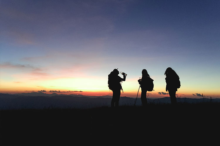
Not all hikes are the same! Some require you to walk at the beach, some require you to climb the mountains, while some require you to get onto rough terrain. Obviously, your hike would be made heaps better with an awesome Mars camper trailer set up waiting for you when you’re done.
As camping sites have all sorts of terrains, you need a camper trailer that can endure in any condition. Having a camper trailer is an excellent idea as they are built to accommodate all sorts of off-road adventures, getting you closer to your hiking spot and away from big tourist crowds. They can withstand any conditions and hence are sure to serve you efficiently in any location.
Get in touch with Mars Campers to enquire about the latest off-road campers. From a variety of options, you can choose the one that best suits your requirement.